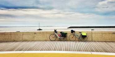
37,76 km cycling route from Rochefort to Marennes
Elevation of the stage
Waytypes of the stage
Surface of the stage
Itinerary
The Rochefort exit is on shared roads, then on almost continuous cycle paths until Tonnay-Charente.
Unlike crossing Tonnay-Charente by road, you will take the greenway on the old railway line that leads to Saint-Agnant (a remarkable suspension bridge over the Charente). Leaving Saint-Agnant, you will cycle on a greenway along the canal, with some sections on unpaved sections, which can be tricky in persistent rain.
In the commune of Hiers Brouage, at the end of the greenway, you will cycle on an unsurfaced dirt road for just under a kilometer. Caution: agricultural machinery may be used on this short section, as the road surface is damaged, especially in wet weather. Every year, the Department undertakes resurfacing work in late June and early July.
Be careful when approaching Marennes via the RD 728, a busy road, as well as the roundabout at the entrance to the town.
⚠️ Hear ye, hear ye, cyclists of La Vélodyssée! In Rochefort, roadworks are underway, so to avoid any surprises, quickly check the roadworks page.
Connections
A connection is possible to the remarkable site of Brouage via a shared road that is very busy in season. A second connection to Bourcefranc-le-Chapus for the crossing to the island of Oléron is possible via a ferry in summer, and a third connection to Marennes town center.


Travellers’ reviews